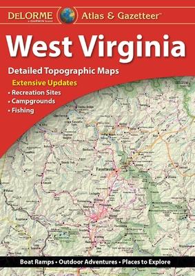
Delorme Atlas & Gazetteer: West Virginia
De (autor): Rand Mcnally
With an incredible wealth of detail, DeLorme's Atlas & Gazetteer is the perfect companion for exploring the West Virginia outdoors. Extensively indexed, full-color topographic maps provide information on everything from cities and towns to historic sites, scenic drives, trailheads, boat ramps and even prime fishing spots.
With a total of 46 map pages, the Atlas & Gazetteer is your most comprehensive navigational guide to West Virginia's backcountry.
Full-color topographic maps provide information on everything from cities and towns to historic sites, scenic drives, recreation areas, trailheads, boat ramps and prime fishing spots.
Extensively indexed.
Handy latitude/longitude overlay grid for each map allows you to navigate with GPS.
Inset maps provided for major cities as well as all state lands.
Product Details: West Virginia State
Dimensions: 15.5" x 11".
AVAILABLE FOR ALL 50 STATES
-10%
transport gratuit
PRP: 154.69 Lei
Acesta este Pretul Recomandat de Producator. Pretul de vanzare al produsului este afisat mai jos.
139.22Lei
139.22Lei
154.69 LeiPrimesti 139 puncte

Primesti puncte de fidelitate dupa fiecare comanda! 100 puncte de fidelitate reprezinta 1 leu. Foloseste-le la viitoarele achizitii!
Indisponibil
Pentru a putea comanda rapid este nevoie sa introduceti numarul dvs de telefon in formatul 0xxxxxxxxx (10 cifre).Un operator Libris.ro va suna si va cere telefonic restul datelor necesare.
Descrierea produsului
With an incredible wealth of detail, DeLorme's Atlas & Gazetteer is the perfect companion for exploring the West Virginia outdoors. Extensively indexed, full-color topographic maps provide information on everything from cities and towns to historic sites, scenic drives, trailheads, boat ramps and even prime fishing spots.
With a total of 46 map pages, the Atlas & Gazetteer is your most comprehensive navigational guide to West Virginia's backcountry.
Full-color topographic maps provide information on everything from cities and towns to historic sites, scenic drives, recreation areas, trailheads, boat ramps and prime fishing spots.
Extensively indexed.
Handy latitude/longitude overlay grid for each map allows you to navigate with GPS.
Inset maps provided for major cities as well as all state lands.
Product Details: West Virginia State
Dimensions: 15.5" x 11".
AVAILABLE FOR ALL 50 STATES
Detaliile produsului
De pe acelasi raft
De acelasi autor
Parerea ta e inspiratie pentru comunitatea Libris!


