


Essex and the Thames Estuary Cycle Map
Essex and the Thames Estuary Cycle Map
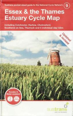
This is in the series of pocket sized, folded maps to the National Cycle Network which include clearly mapped on-road and traffic-free paths, easy to read contours and detailed town insets. The series is published by Sustrans. 1:110,000 scale; folded 155mm x 99mm; flat 792mm x 630mm.
The revised Essex & Thames Estuary Cycle Map - including Colchester, Harlow, Chelmsford, Southend on Sea, Thurrock and 5 individual day rides - has now been revised and is printed on waterproof paper.
PRP: 58.79 Lei
Acesta este Pretul Recomandat de Producator. Pretul de vanzare al produsului este afisat mai jos.
52.91Lei
52.91Lei
58.79 LeiPrimesti 52 puncte

Indisponibil
Descrierea produsului
This is in the series of pocket sized, folded maps to the National Cycle Network which include clearly mapped on-road and traffic-free paths, easy to read contours and detailed town insets. The series is published by Sustrans. 1:110,000 scale; folded 155mm x 99mm; flat 792mm x 630mm.
The revised Essex & Thames Estuary Cycle Map - including Colchester, Harlow, Chelmsford, Southend on Sea, Thurrock and 5 individual day rides - has now been revised and is printed on waterproof paper.
Detaliile produsului
De pe acelasi raft
-

PRP: 167.09 Lei
150.38 Lei
150.38 Lei167.09 Lei
-
PRP: 150.92 Lei
135.83 Lei
135.83 Lei150.92 Lei
-
PRP: 135.86 Lei
122.27 Lei
122.27 Lei135.86 Lei
-
PRP: 114.75 Lei
103.28 Lei
103.28 Lei114.75 Lei
-
PRP: 274.79 Lei
247.31 Lei
247.31 Lei274.79 Lei
-
PRP: 636.53 Lei
572.88 Lei
572.88 Lei636.53 Lei
-
PRP: 220.85 Lei
198.76 Lei
198.76 Lei220.85 Lei
-
PRP: 294.50 Lei
265.05 Lei
265.05 Lei294.50 Lei
-
PRP: 185.94 Lei
167.35 Lei
167.35 Lei185.94 Lei
-
PRP: 88.26 Lei
79.43 Lei
79.43 Lei88.26 Lei
-
PRP: 537.33 Lei
483.60 Lei
483.60 Lei537.33 Lei
-
PRP: 511.50 Lei
460.35 Lei
460.35 Lei511.50 Lei
-
PRP: 268.63 Lei
241.77 Lei
241.77 Lei268.63 Lei
