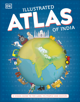
Illustrated Atlas of India: A Visual Guide to the Land, Its People and Culture
De (autor): Dk
Bring geography to life and explore India like never before with the Illustrated Atlas of India. Featuring more than 50 illustrated maps of every state and union territory in India, this book expands the definition of an atlas. It taps into the essence of each state, its culture, history, and people. A special highlight includes spreads on India's leading cities, delving into their heart and soul. Drawing from the current school curriculum and with the help of an educational consultant, the book includes dedicated infographic spreads that explain key topics such as the physiographic division of the country, the river systems, great sites, and so on. Children are shown how to read a map and how to use a key, compass, and scale. With more than 300 stunning illustrations and images, this book is a visual delight, makes geography fun, and is a great addition to every child's library.
-10%
PRP: 122.26 Lei
Acesta este Pretul Recomandat de Producator. Pretul de vanzare al produsului este afisat mai jos.
110.03Lei
110.03Lei
122.26 LeiPrimesti 110 puncte

Primesti puncte de fidelitate dupa fiecare comanda! 100 puncte de fidelitate reprezinta 1 leu. Foloseste-le la viitoarele achizitii!
Indisponibil
X
Pentru a putea comanda rapid este nevoie sa introduceti numarul dvs de telefon in formatul 0xxxxxxxxx (10 cifre).Un operator Libris.ro va suna si va cere telefonic restul datelor necesare.
Descrierea produsului
Bring geography to life and explore India like never before with the Illustrated Atlas of India. Featuring more than 50 illustrated maps of every state and union territory in India, this book expands the definition of an atlas. It taps into the essence of each state, its culture, history, and people. A special highlight includes spreads on India's leading cities, delving into their heart and soul. Drawing from the current school curriculum and with the help of an educational consultant, the book includes dedicated infographic spreads that explain key topics such as the physiographic division of the country, the river systems, great sites, and so on. Children are shown how to read a map and how to use a key, compass, and scale. With more than 300 stunning illustrations and images, this book is a visual delight, makes geography fun, and is a great addition to every child's library.
Detaliile produsului
De pe acelasi raft
De acelasi autor
Parerea ta e inspiratie pentru comunitatea Libris!


