Countdown header img desk

MAI SUNT 00:00:00:00

MAI SUNT

X

Countdown header img  mob

MAI SUNT 00:00:00:00

MAI SUNT

X

Promotii popup img

-50% la 1000 de titluri

siii TRANSPORT GRATUIT

la orice comanda peste 50 lei

Ne vedem printre rafturi!

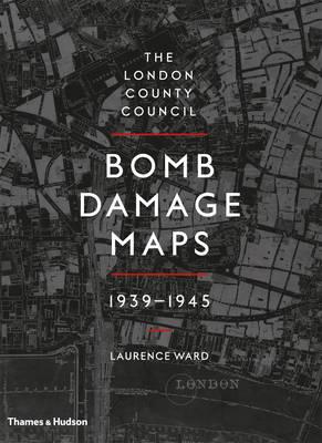
London County Council Bomb Damage Maps 1939-1945

London County Council Bomb Damage Maps 1939-1945

London County Council Bomb Damage Maps 1939-1945

The attack on London between 1939 and 1945 is one of the most significant events in the city's modern history, the impact of which can still be seen in its urban and social landscapes. As a key record of the attack, the London County Council Bomb Damage Maps represent destruction on a huge scale, recording buildings and streets reduced to smoke and rubble. The full set of maps is made up of 110 hand-coloured 1:2500 Ordnance Survey base sheets originally published in 1916 but updated by the LCC to 1940. Because they use the 1916 map, they give us a glimpse of a 'lost London', before post-war redevelopment schemes began to shape the modern city. The colouring applied to the maps records a scale of damage to London's built environment during the war - the most detailed and complete survey of destruction caused by the aerial bombardment. A clear and fascinating introduction by expert Laurence Ward sets the maps in the full historical context of the events that gave rise to them, supported by archival photographs and tables of often grim statistics.
Citeste mai mult

-10%

transport gratuit

PRP: 442.00 Lei

!

Acesta este Pretul Recomandat de Producator. Pretul de vanzare al produsului este afisat mai jos.

397.80Lei

397.80Lei

442.00 Lei

Primesti 397 puncte

Important icon msg

Primesti puncte de fidelitate dupa fiecare comanda! 100 puncte de fidelitate reprezinta 1 leu. Foloseste-le la viitoarele achizitii!

Livrare in 2-4 saptamani

Plaseaza rapid comanda

Important icon msg

Completeaza mai jos numarul tau de telefon

Poti comanda acest produs introducand numarul tau de telefon. Vei fi apelat de un operator Libris.ro in cele mai scurt timp pentru prealuarea datelor necesare.

Descrierea produsului

The attack on London between 1939 and 1945 is one of the most significant events in the city's modern history, the impact of which can still be seen in its urban and social landscapes. As a key record of the attack, the London County Council Bomb Damage Maps represent destruction on a huge scale, recording buildings and streets reduced to smoke and rubble. The full set of maps is made up of 110 hand-coloured 1:2500 Ordnance Survey base sheets originally published in 1916 but updated by the LCC to 1940. Because they use the 1916 map, they give us a glimpse of a 'lost London', before post-war redevelopment schemes began to shape the modern city. The colouring applied to the maps records a scale of damage to London's built environment during the war - the most detailed and complete survey of destruction caused by the aerial bombardment. A clear and fascinating introduction by expert Laurence Ward sets the maps in the full historical context of the events that gave rise to them, supported by archival photographs and tables of often grim statistics.
Citeste mai mult

Detaliile produsului

De pe acelasi raft

Parerea ta e inspiratie pentru comunitatea Libris!

Acum se comanda

Noi suntem despre carti, si la fel este si

Newsletter-ul nostru.

Aboneaza-te la vestile literare si primesti un cupon de -10% pentru viitoarea ta comanda!

*Reducerea aplicata prin cupon nu se cumuleaza, ci se aplica reducerea cea mai mare.

Ma abonez image one
Ma abonez image one