


Road Atlas 2020 - USA, Canada, Mexico (A4-Spiral)
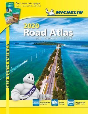
Road Atlas 2020 - USA, Canada, Mexico (A4-Spiral)
In addition of Michelin clear and accurate mapping, USA-Canada-Mexico road atlas features:
* Covers USA, Canada and Mexico. Scale 1:625,000 - 1:9,018,000.
* Spiral bound for lay-flat convenience.
* Six-page travel inspiration section containing Michelin-selected festivals and events across the US and Canada occurring throughout the year, developed from Michelin's famed travel guides.
* 12 full pages of GPS coordinates to US and Canadian national, state & provincial parks.
* 1000+ travel center locations clearly indicated on atlas pages for convenient stops while en route.
* GPS-friendly; layout of tiled map pages complements online navigation systems.
* Tiled atlas is user-friendly, convenient and logical to use, offering continuity when driving.
* More than 240 large-scale city maps for navigating urban areas.
* Bonus Northeast Corridor maps provide extra detail between Boston and Washington DC for better navigation.
* Extensive 96-page place name index for rapid look-up.
* 100+ year history of mapmaking - recognized for accuracy and clarity.
PRP: 99.95 Lei
Acesta este Pretul Recomandat de Producator. Pretul de vanzare al produsului este afisat mai jos.
89.95Lei
89.95Lei
99.95 LeiPrimesti 89 puncte

Indisponibil
Descrierea produsului
In addition of Michelin clear and accurate mapping, USA-Canada-Mexico road atlas features:
* Covers USA, Canada and Mexico. Scale 1:625,000 - 1:9,018,000.
* Spiral bound for lay-flat convenience.
* Six-page travel inspiration section containing Michelin-selected festivals and events across the US and Canada occurring throughout the year, developed from Michelin's famed travel guides.
* 12 full pages of GPS coordinates to US and Canadian national, state & provincial parks.
* 1000+ travel center locations clearly indicated on atlas pages for convenient stops while en route.
* GPS-friendly; layout of tiled map pages complements online navigation systems.
* Tiled atlas is user-friendly, convenient and logical to use, offering continuity when driving.
* More than 240 large-scale city maps for navigating urban areas.
* Bonus Northeast Corridor maps provide extra detail between Boston and Washington DC for better navigation.
* Extensive 96-page place name index for rapid look-up.
* 100+ year history of mapmaking - recognized for accuracy and clarity.
Detaliile produsului
De pe acelasi raft
-

PRP: 170.42 Lei
153.38 Lei
153.38 Lei170.42 Lei
-
PRP: 131.67 Lei
118.50 Lei
118.50 Lei131.67 Lei
-
PRP: 135.86 Lei
122.27 Lei
122.27 Lei135.86 Lei
-
PRP: 162.67 Lei
146.40 Lei
146.40 Lei162.67 Lei
-
PRP: 166.29 Lei
149.66 Lei
149.66 Lei166.29 Lei
-
PRP: 115.86 Lei
104.27 Lei
104.27 Lei115.86 Lei
-
PRP: 115.86 Lei
104.27 Lei
104.27 Lei115.86 Lei
-
PRP: 142.54 Lei
128.29 Lei
128.29 Lei142.54 Lei
-
PRP: 115.86 Lei
104.27 Lei
104.27 Lei115.86 Lei
-
PRP: 115.86 Lei
104.27 Lei
104.27 Lei115.86 Lei
-
PRP: 115.86 Lei
104.27 Lei
104.27 Lei115.86 Lei
-
PRP: 125.09 Lei
112.58 Lei
112.58 Lei125.09 Lei
-
PRP: 136.09 Lei
122.48 Lei
122.48 Lei136.09 Lei
-
PRP: 90.43 Lei
81.39 Lei
81.39 Lei90.43 Lei
-
PRP: 115.86 Lei
104.27 Lei
104.27 Lei115.86 Lei
-
PRP: 239.65 Lei
215.69 Lei
215.69 Lei239.65 Lei
-
PRP: 119.66 Lei
107.69 Lei
107.69 Lei119.66 Lei
