


Victorian Maps of England
Victorian Maps of England
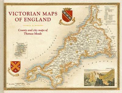
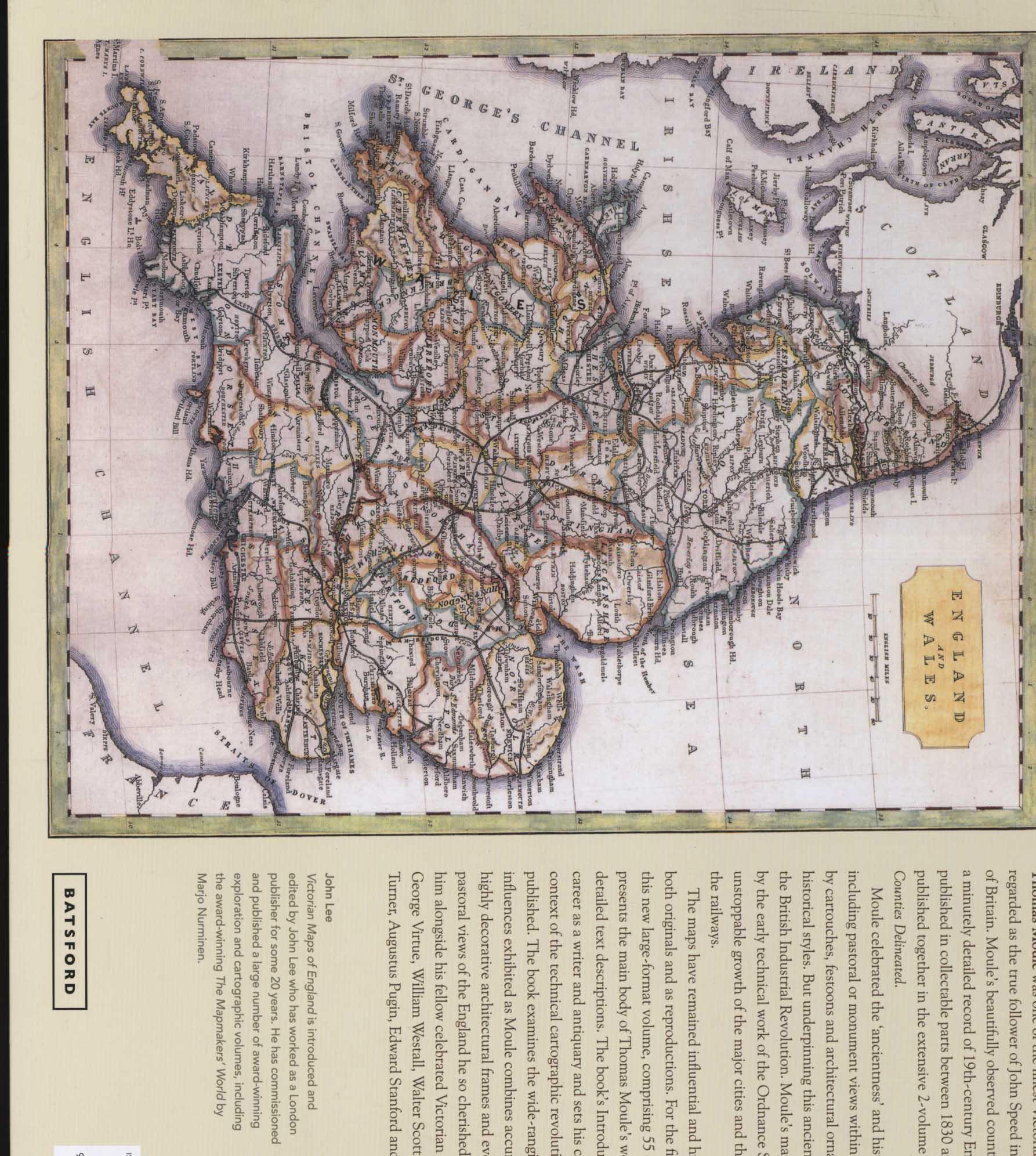
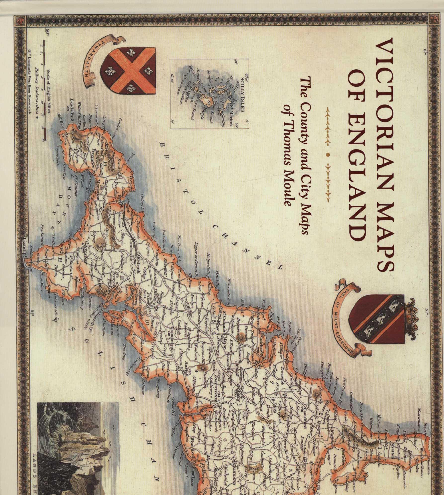
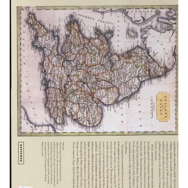
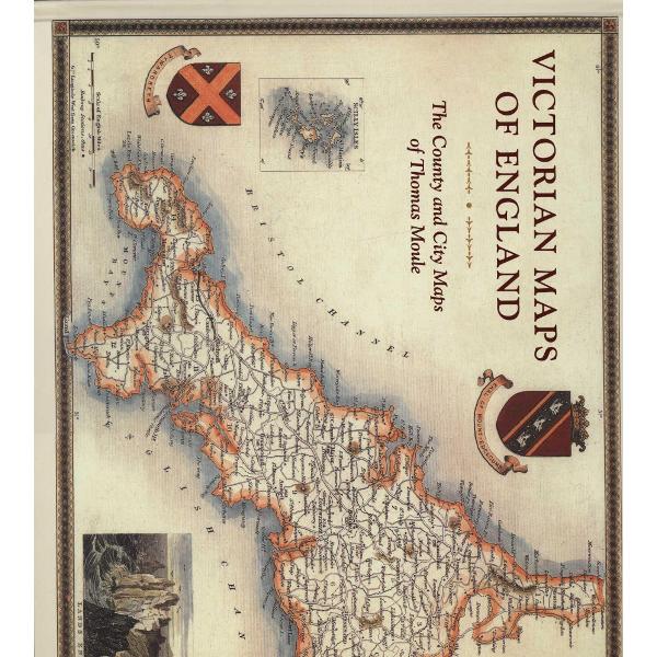
A high-quality, large-format collection of mid-nineteenth-century maps from one of Britain's great cartographers, Thomas Moule. For the first time in a generation, Thomas Moule's maps of the mid-nineteenth century are gathered together and beautifully reproduced in a large-format volume. These 60 fascinating, decorative, and hugely informative maps capture England's counties and key cities at a time when the Industrial Revolution and burgeoning railways were transforming the country. Even as Moule provided a minutely detailed record of these changes, he also celebrated the past through pastoral or monument views that are framed with the cartouches, festoons, and architectural ornament common during this period. Along with contemporary descriptions and extracts, the book explores Moule's career as a mapmaker and positions him alongside fellow Victorian pioneers including Brunel, Wedgewood, Bradshaw, Turner, Pugin, Blake, Scott, and Wordsworth.
PRP: 204.00 Lei
Acesta este Pretul Recomandat de Producator. Pretul de vanzare al produsului este afisat mai jos.
183.60Lei
183.60Lei
204.00 LeiPrimesti 183 puncte

Livrare in 2-4 saptamani
Descrierea produsului
A high-quality, large-format collection of mid-nineteenth-century maps from one of Britain's great cartographers, Thomas Moule. For the first time in a generation, Thomas Moule's maps of the mid-nineteenth century are gathered together and beautifully reproduced in a large-format volume. These 60 fascinating, decorative, and hugely informative maps capture England's counties and key cities at a time when the Industrial Revolution and burgeoning railways were transforming the country. Even as Moule provided a minutely detailed record of these changes, he also celebrated the past through pastoral or monument views that are framed with the cartouches, festoons, and architectural ornament common during this period. Along with contemporary descriptions and extracts, the book explores Moule's career as a mapmaker and positions him alongside fellow Victorian pioneers including Brunel, Wedgewood, Bradshaw, Turner, Pugin, Blake, Scott, and Wordsworth.
Detaliile produsului
De pe acelasi raft
-

PRP: 135.82 Lei
122.24 Lei
122.24 Lei135.82 Lei
-
PRP: 539.92 Lei
485.93 Lei
485.93 Lei539.92 Lei
-
PRP: 465.00 Lei
418.50 Lei
418.50 Lei465.00 Lei
-
PRP: 206.11 Lei
185.50 Lei
185.50 Lei206.11 Lei
-
PRP: 92.69 Lei
83.42 Lei
83.42 Lei92.69 Lei
-
PRP: 264.69 Lei
238.22 Lei
238.22 Lei264.69 Lei
-
PRP: 202.46 Lei
182.21 Lei
182.21 Lei202.46 Lei
-
PRP: 306.00 Lei
275.40 Lei
275.40 Lei306.00 Lei
-
PRP: 309.93 Lei
278.94 Lei
278.94 Lei309.93 Lei
-
PRP: 127.13 Lei
114.42 Lei
114.42 Lei127.13 Lei
-
PRP: 340.69 Lei
306.62 Lei
306.62 Lei340.69 Lei
-
PRP: 264.69 Lei
238.22 Lei
238.22 Lei264.69 Lei
-
PRP: 125.23 Lei
112.71 Lei
112.71 Lei125.23 Lei
-
PRP: 401.99 Lei
361.79 Lei
361.79 Lei401.99 Lei
