


2020 Collins Essential Road Atlas Europe
2020 Collins Essential Road Atlas Europe
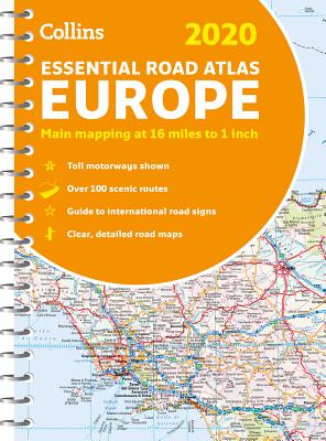
Contains clear, detailed road mapping, perfect for touring the Mediterranean, Iberian peninsula, Scandinavia and many other European tourist destinations. Scale of main maps 1:1,000,000 (1 cm to 10 km / 1 inch to 16 miles). Euroroutes and motorways are easily distinguished on the mapping. The maps also show international road classifications, road distances in kilometers and relief is shown by attractive layer tints. - Route planning maps. - Over 100 scenic routes shown. - Toll motorways shown. - Guide to international road signs, driving advice and useful internet links. - Route maps of 64 major cities. - Street plans of 16 major cities. - Locator diagrams on each page to help you navigate. - More detailed road maps extending from Amsterdam to Munich, making route following easier through this densely populated area. - Top 25 European destinations as recommended on Tripadvisor(R) The mapping extends from the North Cape (Norway) to Gibraltar and from Ireland to east of Moscow. Also includes Iceland and Cyprus.
PRP: 136.09 Lei
Acesta este Pretul Recomandat de Producator. Pretul de vanzare al produsului este afisat mai jos.
122.48Lei
122.48Lei
136.09 LeiPrimesti 122 puncte

Indisponibil
Descrierea produsului
Contains clear, detailed road mapping, perfect for touring the Mediterranean, Iberian peninsula, Scandinavia and many other European tourist destinations. Scale of main maps 1:1,000,000 (1 cm to 10 km / 1 inch to 16 miles). Euroroutes and motorways are easily distinguished on the mapping. The maps also show international road classifications, road distances in kilometers and relief is shown by attractive layer tints. - Route planning maps. - Over 100 scenic routes shown. - Toll motorways shown. - Guide to international road signs, driving advice and useful internet links. - Route maps of 64 major cities. - Street plans of 16 major cities. - Locator diagrams on each page to help you navigate. - More detailed road maps extending from Amsterdam to Munich, making route following easier through this densely populated area. - Top 25 European destinations as recommended on Tripadvisor(R) The mapping extends from the North Cape (Norway) to Gibraltar and from Ireland to east of Moscow. Also includes Iceland and Cyprus.
Detaliile produsului
De pe acelasi raft
-

PRP: 154.69 Lei
139.22 Lei
139.22 Lei154.69 Lei
-
PRP: 61.94 Lei
55.75 Lei
55.75 Lei61.94 Lei
-
PRP: 111.29 Lei
100.16 Lei
100.16 Lei111.29 Lei
-
PRP: 105.09 Lei
94.58 Lei
94.58 Lei105.09 Lei
-
PRP: 154.69 Lei
139.22 Lei
139.22 Lei154.69 Lei
-
PRP: 247.69 Lei
222.92 Lei
222.92 Lei247.69 Lei
-
PRP: 115.86 Lei
104.27 Lei
104.27 Lei115.86 Lei
De acelasi autor
-
PRP: 111.29 Lei
100.16 Lei
100.16 Lei111.29 Lei
-
PRP: 154.69 Lei
139.22 Lei
139.22 Lei154.69 Lei
-
PRP: 154.69 Lei
139.22 Lei
139.22 Lei154.69 Lei
-
PRP: 105.09 Lei
94.58 Lei
94.58 Lei105.09 Lei
-
PRP: 55.73 Lei
50.16 Lei
50.16 Lei55.73 Lei
-
PRP: 204.29 Lei
183.86 Lei
183.86 Lei204.29 Lei
-
PRP: 55.48 Lei
49.93 Lei
49.93 Lei55.48 Lei
-
PRP: 247.69 Lei
222.92 Lei
222.92 Lei247.69 Lei
