


Brittany (Bretagne) Map 512

Brittany (Bretagne) Map 512
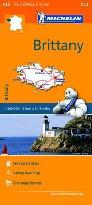
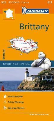
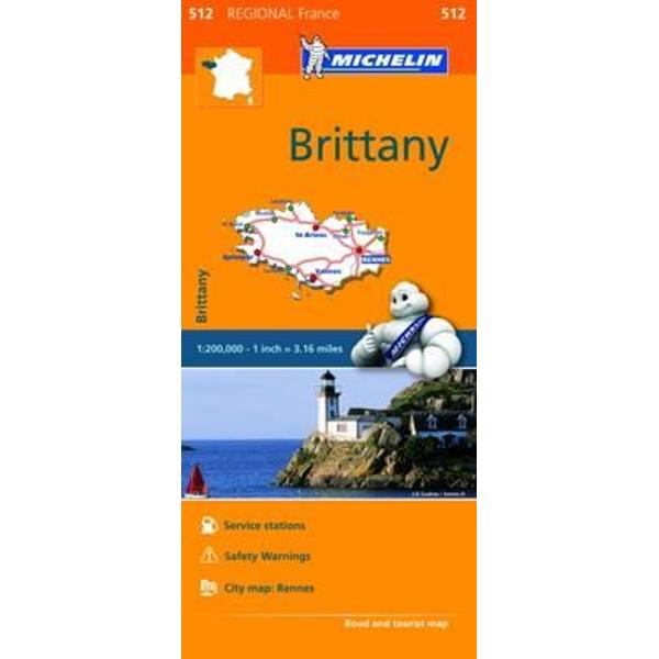
(Edition updated in 2018) MICHELIN Brittany Regional Map scale 1/200,000 will provide you with an extensive coverage of primary, secondary and scenic routes of Bretagne. In addition to Michelin's clear and accurate mapping, this regional map includes all the practical information for a trouble free journey, including major town plans as well as tourism information to make the most of your journey. With MICHELIN Regional Maps, find more than just your way!
MICHELIN REGIONAL MAPS include practical information for a trouble free journey and show primary & secondary road networks.
* Administrative boundaries
* Scenic routes and tourist sights
* Place name index
* Time and distance charts
* Plans for a selection of major towns
* Practical information: danger alerts, service stations, picnic areas
PRP: 40.66 Lei
Acesta este Pretul Recomandat de Producator. Pretul de vanzare al produsului este afisat mai jos.
36.59Lei
36.59Lei
40.66 LeiPrimesti 36 puncte

Indisponibil
Descrierea produsului
(Edition updated in 2018) MICHELIN Brittany Regional Map scale 1/200,000 will provide you with an extensive coverage of primary, secondary and scenic routes of Bretagne. In addition to Michelin's clear and accurate mapping, this regional map includes all the practical information for a trouble free journey, including major town plans as well as tourism information to make the most of your journey. With MICHELIN Regional Maps, find more than just your way!
MICHELIN REGIONAL MAPS include practical information for a trouble free journey and show primary & secondary road networks.
* Administrative boundaries
* Scenic routes and tourist sights
* Place name index
* Time and distance charts
* Plans for a selection of major towns
* Practical information: danger alerts, service stations, picnic areas
MICHELIN REGIONAL MAPS include practical information for a trouble free journey and show primary & secondary road networks.
* Administrative boundaries
* Scenic routes and tourist sights
* Place name index
* Time and distance charts
* Plans for a selection of major towns
* Practical information: danger alerts, service stations, picnic areas
Detaliile produsului
De pe acelasi raft
-

PRP: 142.53 Lei
128.28 Lei
128.28 Lei142.53 Lei
-
PRP: 135.86 Lei
122.27 Lei
122.27 Lei135.86 Lei
-
PRP: 247.69 Lei
222.92 Lei
222.92 Lei247.69 Lei
-
PRP: 247.69 Lei
222.92 Lei
222.92 Lei247.69 Lei
-
PRP: 154.94 Lei
139.45 Lei
139.45 Lei154.94 Lei
-
PRP: 154.94 Lei
139.45 Lei
139.45 Lei154.94 Lei
-
PRP: 186.00 Lei
167.40 Lei
167.40 Lei186.00 Lei
-
PRP: 125.09 Lei
112.58 Lei
112.58 Lei125.09 Lei
