


- /
- Librarie online
- /
- Carti in engleza
- /
- Travel
- /
- United States
- /
- Northeast
- /
- New England (ct, Ma, Me, Nh, Ri, Vt)
- /
- Connecticut River Boating Guide: Source To Sea - Connecticut River Watershed Council
Connecticut River Boating Guide: Source To Sea
Connecticut River Boating Guide: Source To Sea
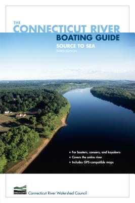
This is the all-new edition of the Connecticut River Boating Guide, the standard resource for boaters, canoeists, and kayakers. It includes thirty-two GPS-compatible maps that together map the entire length of the river. Data for twenty-eight river reaches include information on mileage, navigability, difficulty, sources of flow information, portages, camping, USGS maps and NOAA charts, special fishing regulations, boating facilities, and more. The narrative text accompanying the maps is a mile-by-mile description of the river with detailed information on landmarks, navigational hazards, conservation, wildlife, and history. The book is authored by, and published in cooperation with, the Connecticut River Watershed Council, the leading organization devoted to management of the river and its watershed.
PRP: 131.94 Lei
Acesta este Prețul Recomandat de Producător. Prețul de vânzare al produsului este afișat mai jos.
105.55Lei
105.55Lei
131.94 LeiPrimești 105 puncte
Livrare in 2-4 saptamani
Descrierea produsului
This is the all-new edition of the Connecticut River Boating Guide, the standard resource for boaters, canoeists, and kayakers. It includes thirty-two GPS-compatible maps that together map the entire length of the river. Data for twenty-eight river reaches include information on mileage, navigability, difficulty, sources of flow information, portages, camping, USGS maps and NOAA charts, special fishing regulations, boating facilities, and more. The narrative text accompanying the maps is a mile-by-mile description of the river with detailed information on landmarks, navigational hazards, conservation, wildlife, and history. The book is authored by, and published in cooperation with, the Connecticut River Watershed Council, the leading organization devoted to management of the river and its watershed.
Detaliile produsului


