



- /
- Librarie online
- /
- Carti in engleza
- /
- History
- /
- United States
- /
- 19th Century
- /
- Lewis and Clark Trail Maps VI: Missouri River Between Camp River DuBois (Illinois) and Fort Mandan (North Dakota)-Outbound 1804; Return 1806 - Martin Plamondon
Lewis and Clark Trail Maps VI: Missouri River Between Camp River DuBois (Illinois) and Fort Mandan (North Dakota)-Outbound 1804; Return 1806
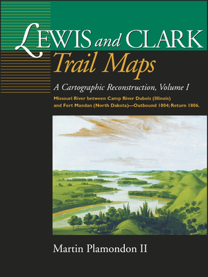
Lewis and Clark Trail Maps VI: Missouri River Between Camp River DuBois (Illinois) and Fort Mandan (North Dakota)-Outbound 1804; Return 1806
By using measurements and notes in William Clark's journals, Plamondon has created maps depicting the Corps of Discovery's route on the Missouri River from Illinois to North Dakota in 1804. The maps compare the modern beds of streams to their courses at the time of exploration. Of further interest are excerpts from the expedition diaries and an insightful essay on frontier surveying.
PRP: 186.00 Lei

Acesta este Prețul Recomandat de Producător. Prețul de vânzare al produsului este afișat mai jos.
167.40Lei
167.40Lei
186.00 LeiPrimești 167 puncte

Livrare in 2-4 saptamani
Descrierea produsului
By using measurements and notes in William Clark's journals, Plamondon has created maps depicting the Corps of Discovery's route on the Missouri River from Illinois to North Dakota in 1804. The maps compare the modern beds of streams to their courses at the time of exploration. Of further interest are excerpts from the expedition diaries and an insightful essay on frontier surveying.
Detaliile produsului