


- /
- Librarie online
- /
- Carti in engleza
- /
- Technology & Engineering
- /
- Agriculture
- /
- Irrigation
- /
- Plotting from Above: Enhancing Agricultural Mapping in Asia and the Pacific - Anthony Burgard
Plotting from Above: Enhancing Agricultural Mapping in Asia and the Pacific
Plotting from Above: Enhancing Agricultural Mapping in Asia and the Pacific
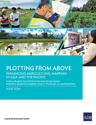
This report provides insights on how geospatial technologies can be used to develop methodological tools for measuring agricultural land more accurately and cost-efficiently in Asia and the Pacific.
Based on pilot application in Armenia, the Cook Islands, and the Lao People's Democratic Republic, the report outlines four methods to measure agricultural parcels using global positioning systems and assesses the benefits and limitations of each. It also explains some key considerations that statistics offices and line ministries need to consider to maximize how these technologies and tools can inform agricultural policy and planning.
Based on pilot application in Armenia, the Cook Islands, and the Lao People's Democratic Republic, the report outlines four methods to measure agricultural parcels using global positioning systems and assesses the benefits and limitations of each. It also explains some key considerations that statistics offices and line ministries need to consider to maximize how these technologies and tools can inform agricultural policy and planning.
PRP: 248.00 Lei
Acesta este Prețul Recomandat de Producător. Prețul de vânzare al produsului este afișat mai jos.
223.20Lei
223.20Lei
248.00 LeiPrimești 223 puncte
Livrare in 2-4 saptamani
Descrierea produsului
This report provides insights on how geospatial technologies can be used to develop methodological tools for measuring agricultural land more accurately and cost-efficiently in Asia and the Pacific.
Based on pilot application in Armenia, the Cook Islands, and the Lao People's Democratic Republic, the report outlines four methods to measure agricultural parcels using global positioning systems and assesses the benefits and limitations of each. It also explains some key considerations that statistics offices and line ministries need to consider to maximize how these technologies and tools can inform agricultural policy and planning.
Based on pilot application in Armenia, the Cook Islands, and the Lao People's Democratic Republic, the report outlines four methods to measure agricultural parcels using global positioning systems and assesses the benefits and limitations of each. It also explains some key considerations that statistics offices and line ministries need to consider to maximize how these technologies and tools can inform agricultural policy and planning.
Detaliile produsului


