



- /
- Librarie online
- /
- Carti in engleza
- /
- History
- /
- Historical Geography
- /
- To the Ends of the Earth: How the Greatest Maps Were Made - Philip Parker
To the Ends of the Earth: How the Greatest Maps Were Made
To the Ends of the Earth: How the Greatest Maps Were Made
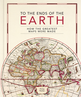
This lavishly illustrated book provides a unique insight into the evolution of mapmaking and the science behind it, from the stone age to the digital age. Britain's leading cartographic author takes us on a historical journey through how the greatest maps were created. Exploring key cartographers and mapmaking methods, as well as fascinating interludes on subjects such as the very first maps, deliberate mistakes, and superlative maps, this comprehensive guide explores how the techniques and technology have developed throughout human history: - Evolving methods of surveying: from the Roman groma, through the naval instruments of the magnetic compass, astrolabes and sextants, to the 20th century revolution of aerial photography
- Drawing tools and materials: from Babylonian maps carved in clay, to digital maps created via touchscreen
- The introduction of various mapping conventions and key components of a map: from Ptolemy's introduction of longitude and latitude, through the 13th century origins of having north at the top, to the various projections used to represent the Earth. With visually stunning historic maps and antique instruments, this book will engross readers with its fascinating stories of how we came to chart our world.
- Drawing tools and materials: from Babylonian maps carved in clay, to digital maps created via touchscreen
- The introduction of various mapping conventions and key components of a map: from Ptolemy's introduction of longitude and latitude, through the 13th century origins of having north at the top, to the various projections used to represent the Earth. With visually stunning historic maps and antique instruments, this book will engross readers with its fascinating stories of how we came to chart our world.
PRP: 180.00 Lei

Acesta este Prețul Recomandat de Producător. Prețul de vânzare al produsului este afișat mai jos.
162.00Lei
162.00Lei
180.00 LeiPrimești 162 puncte

Livrare in 2-4 saptamani
Descrierea produsului
This lavishly illustrated book provides a unique insight into the evolution of mapmaking and the science behind it, from the stone age to the digital age. Britain's leading cartographic author takes us on a historical journey through how the greatest maps were created. Exploring key cartographers and mapmaking methods, as well as fascinating interludes on subjects such as the very first maps, deliberate mistakes, and superlative maps, this comprehensive guide explores how the techniques and technology have developed throughout human history: - Evolving methods of surveying: from the Roman groma, through the naval instruments of the magnetic compass, astrolabes and sextants, to the 20th century revolution of aerial photography
- Drawing tools and materials: from Babylonian maps carved in clay, to digital maps created via touchscreen
- The introduction of various mapping conventions and key components of a map: from Ptolemy's introduction of longitude and latitude, through the 13th century origins of having north at the top, to the various projections used to represent the Earth. With visually stunning historic maps and antique instruments, this book will engross readers with its fascinating stories of how we came to chart our world.
- Drawing tools and materials: from Babylonian maps carved in clay, to digital maps created via touchscreen
- The introduction of various mapping conventions and key components of a map: from Ptolemy's introduction of longitude and latitude, through the 13th century origins of having north at the top, to the various projections used to represent the Earth. With visually stunning historic maps and antique instruments, this book will engross readers with its fascinating stories of how we came to chart our world.
Detaliile produsului