


Cleveland Way Map Booklet
Cleveland Way Map Booklet
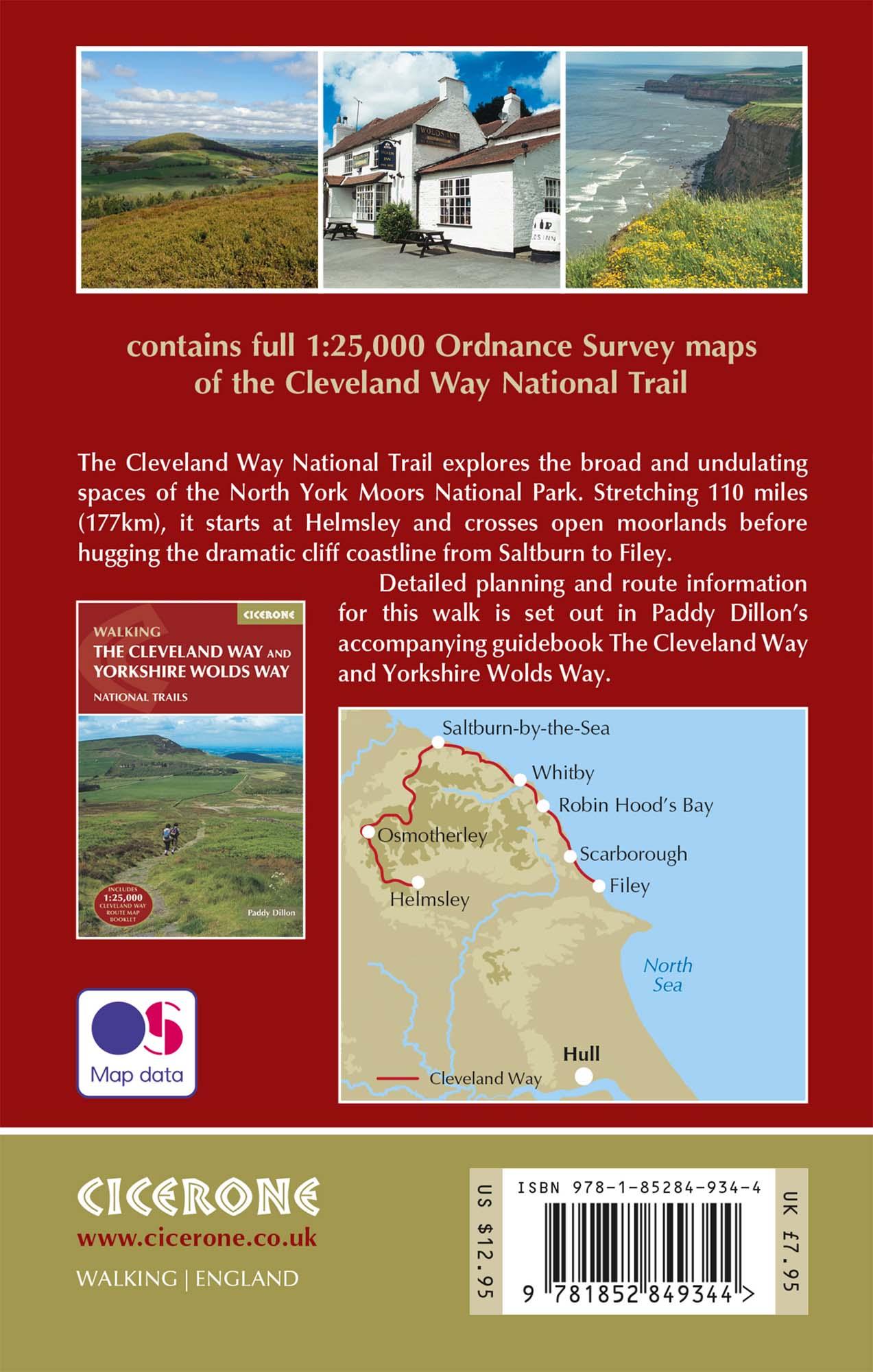
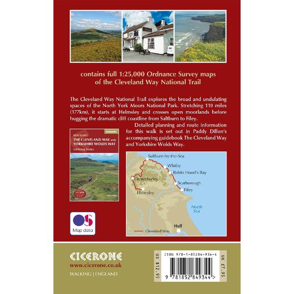
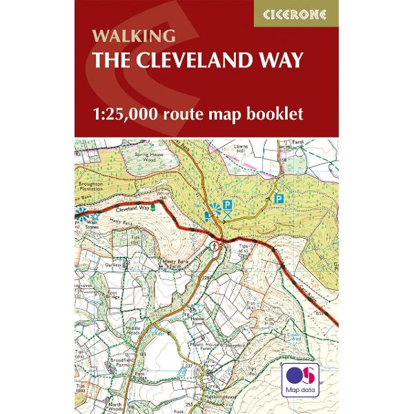
All the mapping you need to complete the Cleveland Way national trail. A long-distance route of 177 km (110 miles), giving around 9 days of easy and enjoyable walking through the North York Moors National Park, taking in open heather moorlands, gentle dales, interesting towns and villages, and dramatic cliff coastlines.
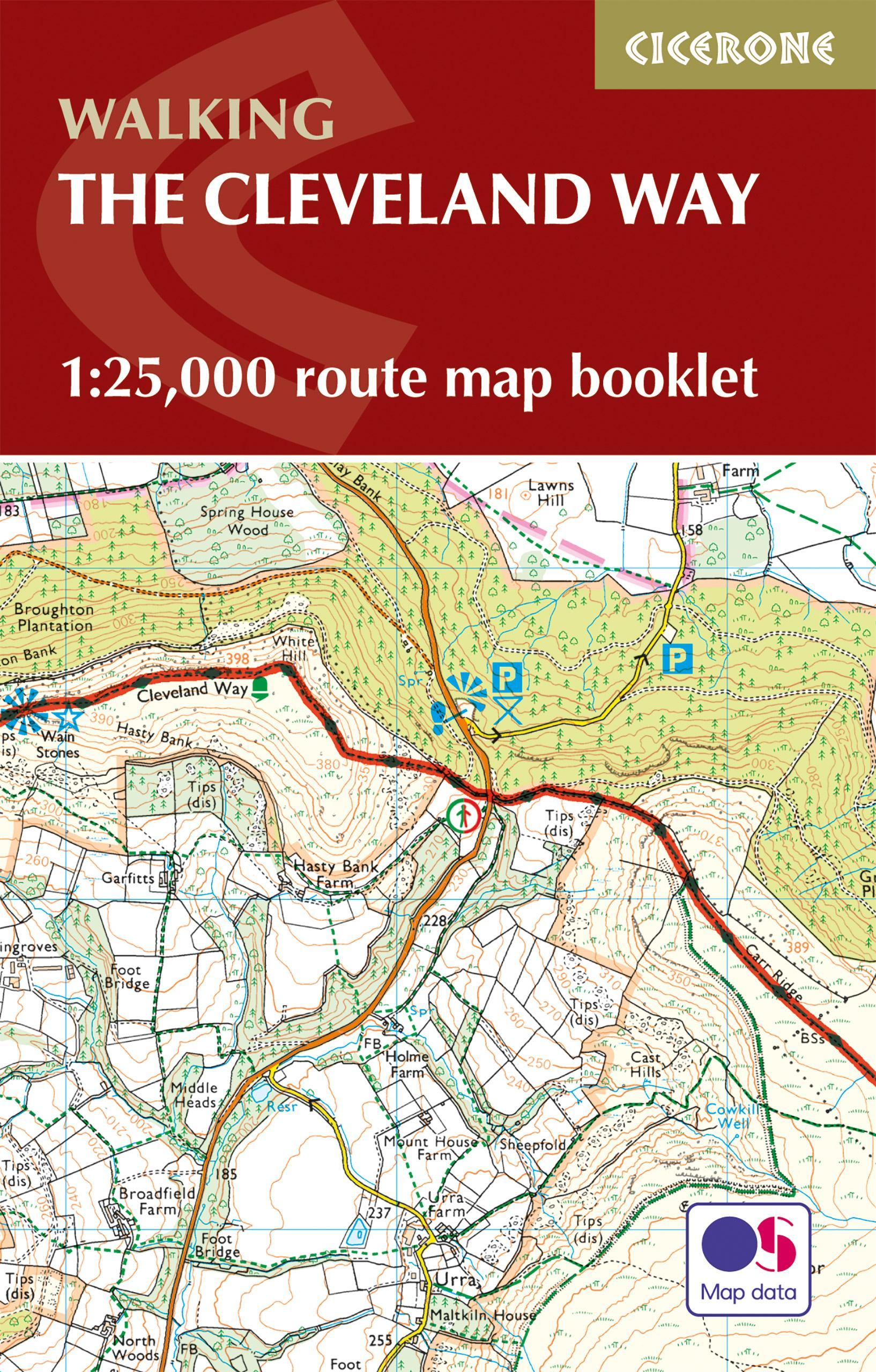
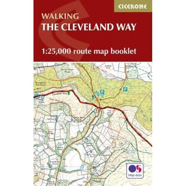
This booklet of Ordnance Survey 1:25,000 Explorer maps has been designed for convenient use on the trail. It shows the full and up-to-date line of the national trail, along with the relevant extract from the OS Explorer map legend, and can be used when walking the route in either direction. It is conveniently sized for slipping into a jacket pocket or the top of a rucksack and comes in a clear PVC sleeve.
This booklet is included with the Cicerone guidebook to the Cleveland Way and the Yorkshire Wolds Way National Trails.
PRP: 53.99 Lei
Acesta este Pretul Recomandat de Producator. Pretul de vanzare al produsului este afisat mai jos.
48.59Lei
48.59Lei
53.99 LeiPrimesti 48 puncte

Indisponibil
Descrierea produsului
All the mapping you need to complete the Cleveland Way national trail. A long-distance route of 177 km (110 miles), giving around 9 days of easy and enjoyable walking through the North York Moors National Park, taking in open heather moorlands, gentle dales, interesting towns and villages, and dramatic cliff coastlines.
This booklet of Ordnance Survey 1:25,000 Explorer maps has been designed for convenient use on the trail. It shows the full and up-to-date line of the national trail, along with the relevant extract from the OS Explorer map legend, and can be used when walking the route in either direction. It is conveniently sized for slipping into a jacket pocket or the top of a rucksack and comes in a clear PVC sleeve.
This booklet is included with the Cicerone guidebook to the Cleveland Way and the Yorkshire Wolds Way National Trails.
Detaliile produsului
De acelasi autor
-

PRP: 122.06 Lei
109.85 Lei
109.85 Lei122.06 Lei
-
PRP: 122.06 Lei
109.85 Lei
109.85 Lei122.06 Lei
-
PRP: 173.29 Lei
155.96 Lei
155.96 Lei173.29 Lei
-
PRP: 115.26 Lei
103.73 Lei
103.73 Lei115.26 Lei
-
PRP: 128.86 Lei
115.97 Lei
115.97 Lei128.86 Lei
-
PRP: 88.06 Lei
79.25 Lei
79.25 Lei88.06 Lei


