


- /
- Librarie online
- /
- Carti in engleza
- /
- Children's Books
- /
- Reference
- /
- Science & Nature
- /
- Collins First Atlas
Collins First Atlas
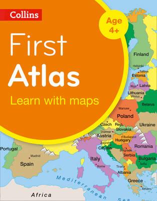
Collins First Atlas
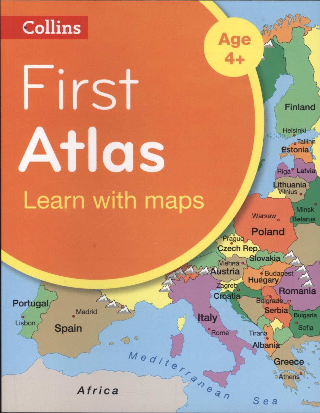
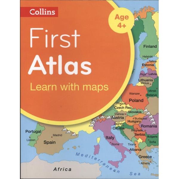
Collins First Atlas is a fun, vibrant and clear starter atlas for 4-7 year olds which provides an introduction to basic geographical and atlas vocabulary.
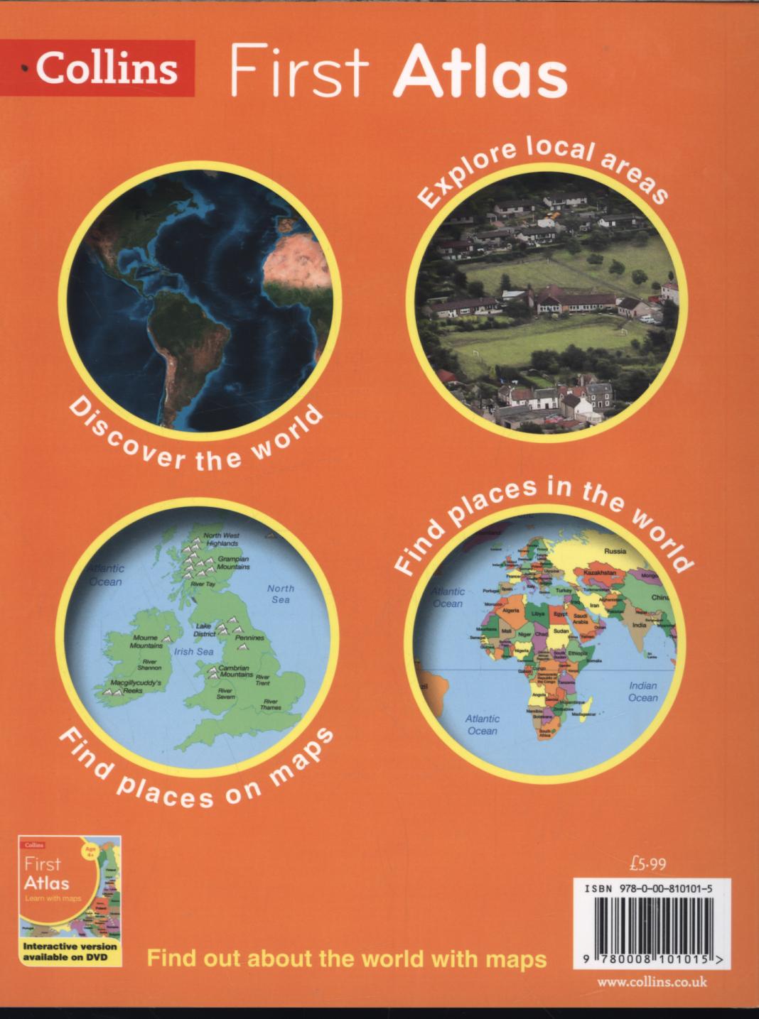
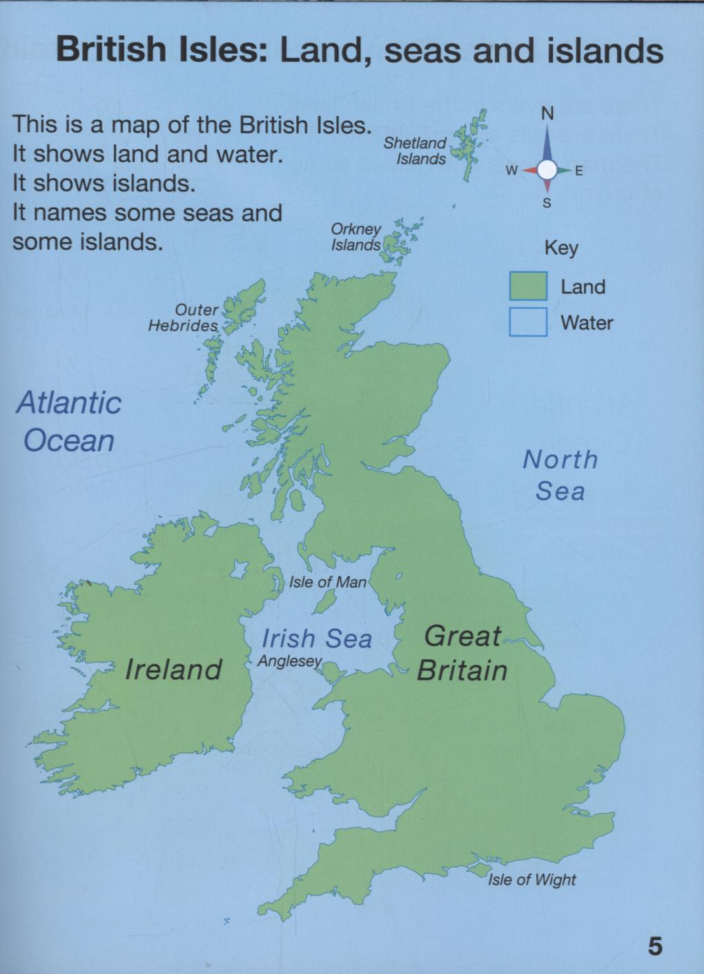
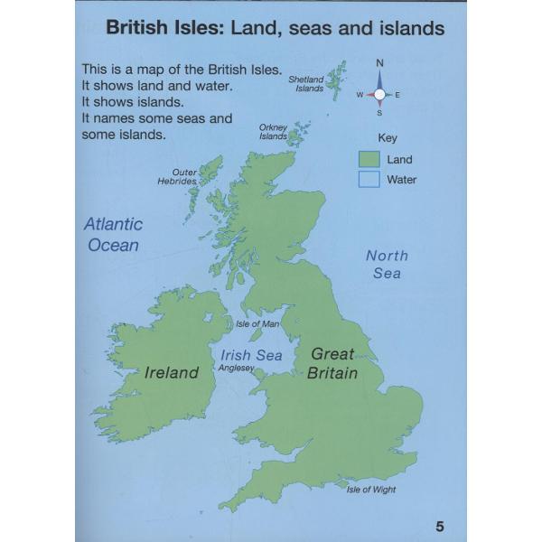
This first atlas introduces the younger pupil to photographs and mapping of a local area. From this beginning the atlas gradually maps through regional, national, continental and world regions with global views of the wider world.
Carefully selected map labels highlight certain countries or features which can be easily identified to illustrate the concept of mapping as it becomes more complex.
All maps are supported with short informative sentences which use a basic geographical vocabulary.
PRP: 40.66 Lei
Acesta este Prețul Recomandat de Producător. Prețul de vânzare al produsului este afișat mai jos.
36.59Lei
36.59Lei
40.66 LeiPrimești 36 puncte
Indisponibil
Descrierea produsului
Collins First Atlas is a fun, vibrant and clear starter atlas for 4-7 year olds which provides an introduction to basic geographical and atlas vocabulary.
This first atlas introduces the younger pupil to photographs and mapping of a local area. From this beginning the atlas gradually maps through regional, national, continental and world regions with global views of the wider world.
Carefully selected map labels highlight certain countries or features which can be easily identified to illustrate the concept of mapping as it becomes more complex.
All maps are supported with short informative sentences which use a basic geographical vocabulary.
Detaliile produsului