


Fiordland National Park Trekking/Hiking/Walking Complete Topographic Map Atlas Milford Sound Routeburn Track New Zealand South Island 1: 95000: Great
Fiordland National Park Trekking/Hiking/Walking Complete Topographic Map Atlas Milford Sound Routeburn Track New Zealand South Island 1: 95000: Great
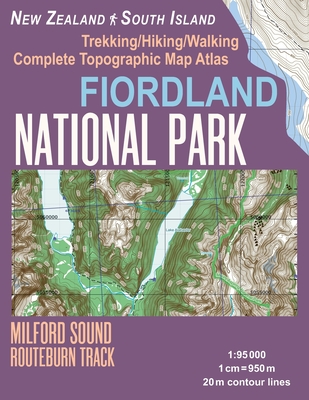
Updated edition. Complete map of the Fiordland National Park, NZ covering great walks and wonderful tramping/hiking trails in the area.Detailed topographic map 1:95.000 for hiking and trekking, printed as an atlas book (with overlapping pages). 20 meter contour lines, road network, trails & paths, transportation, food, campsites, shelters, guest houses & hotels.Mercator projection with both UTM and WGS84 coordinate grids.
The map scale of 1:95000 (1 cm = 950 meters) provides a wealth of detail while keeping low the weight of the atlas itself. The large page format of 8.5x11in minimizes page count and along with an overlapping map design allows for comfortable navigation.
The details included in the topographic maps of this atlas were specifically selected to be useful for trekkers, hikers and walkers of all interests, and make it easy to plan and enjoy both short excursions and hikes as well as long multi-day adventures along the main marked routes and/or adjacent trails and paths, which are also shown on the maps.
With this ultralight atlas you will always have a detailed, reliable, information-rich, battery-independent, shatter-proof map for your adventure.
PRP: 115.86 Lei
Acesta este Prețul Recomandat de Producător. Prețul de vânzare al produsului este afișat mai jos.
104.27Lei
104.27Lei
115.86 LeiPrimești 104 puncte
Livrare in 2-4 saptamani
Descrierea produsului
Updated edition. Complete map of the Fiordland National Park, NZ covering great walks and wonderful tramping/hiking trails in the area.Detailed topographic map 1:95.000 for hiking and trekking, printed as an atlas book (with overlapping pages). 20 meter contour lines, road network, trails & paths, transportation, food, campsites, shelters, guest houses & hotels.Mercator projection with both UTM and WGS84 coordinate grids.
The map scale of 1:95000 (1 cm = 950 meters) provides a wealth of detail while keeping low the weight of the atlas itself. The large page format of 8.5x11in minimizes page count and along with an overlapping map design allows for comfortable navigation.
The details included in the topographic maps of this atlas were specifically selected to be useful for trekkers, hikers and walkers of all interests, and make it easy to plan and enjoy both short excursions and hikes as well as long multi-day adventures along the main marked routes and/or adjacent trails and paths, which are also shown on the maps.
With this ultralight atlas you will always have a detailed, reliable, information-rich, battery-independent, shatter-proof map for your adventure.
Detaliile produsului


