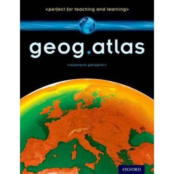
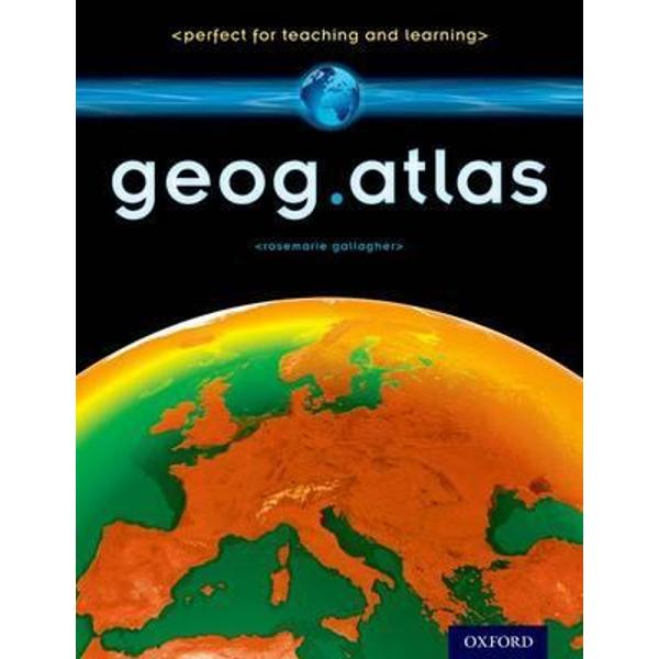
Geog.Atlas
Geog.Atlas
It features unique coverage of places likely to appear in the news, such as the Middle East, Afghanistan, and the Falklands. Special maps look at themes like global warming, desertification, and how people spread around the world. Stunning satellite images are placed alongside physical geography maps to aid understanding. 'Did you know?' and 'What if?' circles provide interesting extra information and engaging facts.
Full of clearly-labelled maps, straightforward explanations, and advice on how to 'read' maps and understand what they show, it will help improve students' basic locational knowledge, enhance their understanding, and build their confidence.
geog.atlas supports teachers whether they're using geog.123 or an alternative course at KS3.
PRP: 199.50 Lei
Acesta este Prețul Recomandat de Producător. Prețul de vânzare al produsului este afișat mai jos.
179.55Lei
179.55Lei
199.50 LeiLivrare in 2-4 saptamani
Descrierea produsului
It features unique coverage of places likely to appear in the news, such as the Middle East, Afghanistan, and the Falklands. Special maps look at themes like global warming, desertification, and how people spread around the world. Stunning satellite images are placed alongside physical geography maps to aid understanding. 'Did you know?' and 'What if?' circles provide interesting extra information and engaging facts.
Full of clearly-labelled maps, straightforward explanations, and advice on how to 'read' maps and understand what they show, it will help improve students' basic locational knowledge, enhance their understanding, and build their confidence.
geog.atlas supports teachers whether they're using geog.123 or an alternative course at KS3.
Detaliile produsului


