Historical Sea Charts: Visions and Voyages Through the Ages
Historical Sea Charts: Visions and Voyages Through the Ages
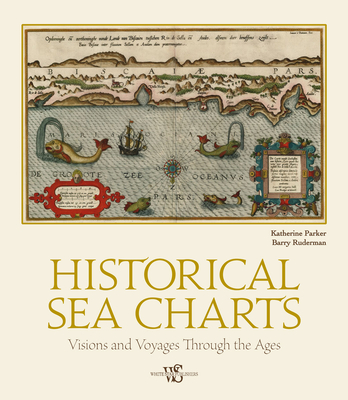
This book shows the history of charts and nautical maps from the earliest known examples to the ones used in the Twentieth Century, with a special focus on the map makers and the methods of use from 1300 to 1900. As with many historical objects, nautical charts are admired today for their charm and aesthetic appeal. The maps in Historical Sea Charts are part of the collection owned by Barry Lawrence Ruderman Antique Maps Inc., the world's leading institution for nautical maps. The reader can find in this book the most indicative of trends and ideas through time. For each example in the volume, the reader will find out how the maps were designed and created, as well as how they were used during navigation or in preparation of a journey.
PRP: 221.00 Lei
Acesta este Pretul Recomandat de Producator. Pretul de vanzare al produsului este afisat mai jos.
198.90Lei
198.90Lei
221.00 LeiIndisponibil
Descrierea produsului
This book shows the history of charts and nautical maps from the earliest known examples to the ones used in the Twentieth Century, with a special focus on the map makers and the methods of use from 1300 to 1900. As with many historical objects, nautical charts are admired today for their charm and aesthetic appeal. The maps in Historical Sea Charts are part of the collection owned by Barry Lawrence Ruderman Antique Maps Inc., the world's leading institution for nautical maps. The reader can find in this book the most indicative of trends and ideas through time. For each example in the volume, the reader will find out how the maps were designed and created, as well as how they were used during navigation or in preparation of a journey.
Detaliile produsului


