Imagery and GIS: Best Practices for Extracting Information from Imagery
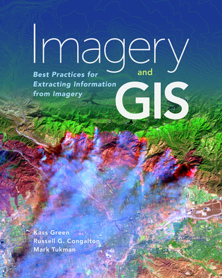
Imagery and GIS: Best Practices for Extracting Information from Imagery
Imagery and GIS, working together, expand our perspective so that we can better perceive and understand The Science of Where(TM).
Today, most maps include imagery in the form of aerial photos, satellite images, thermal images, digital elevation models, and scanned maps. Imagery and GIS: Best Practices for Extracting Information from Imagery shows how imagery can be integrated successfully into GIS maps and analysis. In this essential reference, discover how imagery brings value to GIS and how GIS can be used to derive value from imagery. Learn from case studies and in-depth explanations about selecting the 'right' imagery, image analysis, how to efficiently manage and serve imagery datasets, and how to accurately extract information from imagery. The authors' experience working together on numerous research, teaching, and operational remote sensing and GIS applications bestow the book with both the newest innovations, as well as proven advice.
Apply the best practices found in Imagery and GIS: Best Practices for Extracting Information from Imagery to obtain the most value from imagery in your own GIS projects.
PRP: 867.93 Lei
Acesta este Pretul Recomandat de Producator. Pretul de vanzare al produsului este afisat mai jos.
781.14Lei
781.14Lei
867.93 LeiPrimesti 781 puncte

Livrare in 2-4 saptamani
Descrierea produsului
Imagery and GIS, working together, expand our perspective so that we can better perceive and understand The Science of Where(TM).
Today, most maps include imagery in the form of aerial photos, satellite images, thermal images, digital elevation models, and scanned maps. Imagery and GIS: Best Practices for Extracting Information from Imagery shows how imagery can be integrated successfully into GIS maps and analysis. In this essential reference, discover how imagery brings value to GIS and how GIS can be used to derive value from imagery. Learn from case studies and in-depth explanations about selecting the 'right' imagery, image analysis, how to efficiently manage and serve imagery datasets, and how to accurately extract information from imagery. The authors' experience working together on numerous research, teaching, and operational remote sensing and GIS applications bestow the book with both the newest innovations, as well as proven advice.
Apply the best practices found in Imagery and GIS: Best Practices for Extracting Information from Imagery to obtain the most value from imagery in your own GIS projects.
Detaliile produsului
S-ar putea sa-ti placa si
-
PRP: 685.01 Lei
616.51 Lei
616.51 Lei685.01 Lei
-
PRP: 1135.56 Lei
1022.00 Lei
1022.00 Lei1135.56 Lei
-
PRP: 173.53 Lei
156.18 Lei
156.18 Lei173.53 Lei
-
PRP: 1206.52 Lei
1085.87 Lei
1085.87 Lei1206.52 Lei
-
PRP: 679.91 Lei
611.92 Lei
611.92 Lei679.91 Lei
-
PRP: 867.93 Lei
781.14 Lei
781.14 Lei867.93 Lei
-
PRP: 347.13 Lei
312.42 Lei
312.42 Lei347.13 Lei
-
PRP: 433.93 Lei
390.54 Lei
390.54 Lei433.93 Lei
-
PRP: 981.18 Lei
883.06 Lei
883.06 Lei981.18 Lei
-

PRP: 1832.10 Lei
1648.89 Lei
1648.89 Lei1832.10 Lei
-

PRP: 347.13 Lei
312.42 Lei
312.42 Lei347.13 Lei
-
PRP: 163.11 Lei
146.80 Lei
146.80 Lei163.11 Lei
-
PRP: 173.53 Lei
156.18 Lei
156.18 Lei173.53 Lei
-
PRP: 906.67 Lei
816.00 Lei
816.00 Lei906.67 Lei
-
PRP: 680.00 Lei
612.00 Lei
612.00 Lei680.00 Lei
-
PRP: 290.04 Lei
261.04 Lei
261.04 Lei290.04 Lei