Countdown header img desk

MAI SUNT 2:05:34:53

X

Countdown header img  mob

MAI SUNT 2:05:34:53

X

Promotii popup img

🏰Disneyland Paris

Câștigă un City Break de 3 persoane!

✨CONCURS✨

Află mai multe aici👉

Maps and History: Constructing Images of the Past

Maps and History: Constructing Images of the Past - Jeremy Black

Maps and History: Constructing Images of the Past

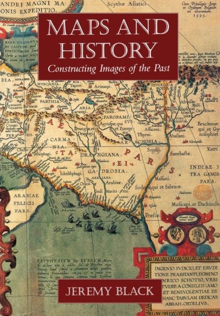
Historical atlases offer an understanding of the past that is invaluable to historians, not only because they convey a previous age's sense of space and distance but also because they reveal what historians and educators of those periods thought important to include or omit. This book--the first comprehensive and wide-ranging account of the historical atlas--explores the role, development, and nature of this important reference and discusses its impact on the presentation of the past.

Jeremy Black begins with a consideration of the pre-history of the historical atlas: individual maps depicting the Holy Land at the time of Christ and maps of the classical world. He then examines the first known historical atlas, the Parergon of Abraham Ortel, which was published in Antwerp in 1579 and was followed by other works that mapped the world of the Bible and the classics. In the eighteenth century, there was a growing interest in mapping the post-Classical world, and works appeared that included maps of medieval Europe. In the nineteenth century, historical maps came increasingly to embody a clear political emphasis, mapping blocs of territory separated by clear linear frontiers and reflecting an approach to the past focused on undivided sovereignty and the development of the nation-state.

In the twentieth century, historical atlases have both contributed to and responded to other ideologies, portraying peoples, languages, and cultural differences in an immediate and often striking visual form. Since 1945 the range of atlases has broadened to include maps devoted to the global environment, health, population trends, and other sociological, cultural, and economic changes. And the liberation of the Third World and the ending of the Cold War have stimulated a full scale re-mapping of the globe and the way it is perceived.
Citeste mai mult

-10%

transport gratuit

PRP: 290.13 Lei

!

Acesta este Pretul Recomandat de Producator. Pretul de vanzare al produsului este afisat mai jos.

261.12Lei

261.12Lei

290.13 Lei

Primesti 261 puncte

Important icon msg

Primesti puncte de fidelitate dupa fiecare comanda! 100 puncte de fidelitate reprezinta 1 leu. Foloseste-le la viitoarele achizitii!

Livrare in 2-4 saptamani

Descrierea produsului

Historical atlases offer an understanding of the past that is invaluable to historians, not only because they convey a previous age's sense of space and distance but also because they reveal what historians and educators of those periods thought important to include or omit. This book--the first comprehensive and wide-ranging account of the historical atlas--explores the role, development, and nature of this important reference and discusses its impact on the presentation of the past.

Jeremy Black begins with a consideration of the pre-history of the historical atlas: individual maps depicting the Holy Land at the time of Christ and maps of the classical world. He then examines the first known historical atlas, the Parergon of Abraham Ortel, which was published in Antwerp in 1579 and was followed by other works that mapped the world of the Bible and the classics. In the eighteenth century, there was a growing interest in mapping the post-Classical world, and works appeared that included maps of medieval Europe. In the nineteenth century, historical maps came increasingly to embody a clear political emphasis, mapping blocs of territory separated by clear linear frontiers and reflecting an approach to the past focused on undivided sovereignty and the development of the nation-state.

In the twentieth century, historical atlases have both contributed to and responded to other ideologies, portraying peoples, languages, and cultural differences in an immediate and often striking visual form. Since 1945 the range of atlases has broadened to include maps devoted to the global environment, health, population trends, and other sociological, cultural, and economic changes. And the liberation of the Third World and the ending of the Cold War have stimulated a full scale re-mapping of the globe and the way it is perceived.

Citeste mai mult

De acelasi autor

Parerea ta e inspiratie pentru comunitatea Libris!

Istoricul tau de navigare

Acum se comanda

Noi suntem despre carti, si la fel este si

Newsletter-ul nostru.

Aboneaza-te la vestile literare si primesti un cupon de -10% pentru viitoarea ta comanda!

*Reducerea aplicata prin cupon nu se cumuleaza, ci se aplica reducerea cea mai mare.

Ma abonez image one
Ma abonez image one