


National Geographic Kids U.S. Atlas 2020, 6th Edition
National Geographic Kids U.S. Atlas 2020, 6th Edition
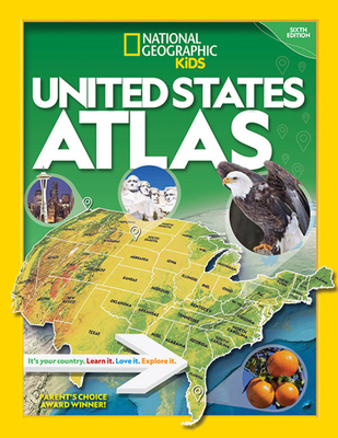
Current, authoritative, and produced by the expert cartographers at National Geographic, this best-selling United States atlas is newly updated with all the latest info--sure to be welcome in libraries, classrooms, and homes. Kids will have fun learning about each and every U.S. state in this amazing 6th edition atlas, packed with maps, stats, facts, and pictures. National Geographic's world-renowned cartographers have paired up with education experts to create maps of all 50 states, U.S. territories, and Washington, D.C., that pinpoint the physical features, capitals, and other towns and cities. Discover the latest data along with colorful photography of each state and the people who live there. Key points reflect the latest information about land and water, people, and places. Lively essays cover each region of the country. Eight specially themed maps on nature, population, economy, energy, climate, and more delve deeper into key issues. State birds and state flags add to the high visual interest. This is a great reference for home and school with all the basics kids need to know to succeed in middle school, high school, and beyond.
Current, authoritative, and produced by the expert cartographers at National Geographic, this best-selling United States atlas is newly updated with all the latest info--sure to be welcome in libraries, classrooms, and homes.Kids will have fun learning about each and every U.S. state in this amazing 6th edition atlas, packed with maps, stats, facts, and pictures. National Geographic's world-renowned cartographers have paired up with education experts to create maps of all 50 states, U.S. territories, and Washington, D.C., that pinpoint the physical features, capitals, and other towns and cities. Discover the latest data along with colorful photography of each state and the people who live there. Key points reflect the latest information about land and water, people, and places. Lively essays cover each region of the country. Eight specially themed maps on nature, population, economy, energy, climate, and more delve deeper into key issues. State birds and state flags add to the high visual interest. This is a great reference for home and school with all the basics kids need to know to succeed in middle school, high school, and beyond.
Current, authoritative, and produced by the expert cartographers at National Geographic, this best-selling United States atlas is newly updated with all the latest info--sure to be welc
PRP: 80.54 Lei
Acesta este Prețul Recomandat de Producător. Prețul de vânzare al produsului este afișat mai jos.
72.49Lei
72.49Lei
80.54 LeiPrimești 72 puncte

Indisponibil
Descrierea produsului
Current, authoritative, and produced by the expert cartographers at National Geographic, this best-selling United States atlas is newly updated with all the latest info--sure to be welcome in libraries, classrooms, and homes. Kids will have fun learning about each and every U.S. state in this amazing 6th edition atlas, packed with maps, stats, facts, and pictures. National Geographic's world-renowned cartographers have paired up with education experts to create maps of all 50 states, U.S. territories, and Washington, D.C., that pinpoint the physical features, capitals, and other towns and cities. Discover the latest data along with colorful photography of each state and the people who live there. Key points reflect the latest information about land and water, people, and places. Lively essays cover each region of the country. Eight specially themed maps on nature, population, economy, energy, climate, and more delve deeper into key issues. State birds and state flags add to the high visual interest. This is a great reference for home and school with all the basics kids need to know to succeed in middle school, high school, and beyond.
Current, authoritative, and produced by the expert cartographers at National Geographic, this best-selling United States atlas is newly updated with all the latest info--sure to be welcome in libraries, classrooms, and homes.Kids will have fun learning about each and every U.S. state in this amazing 6th edition atlas, packed with maps, stats, facts, and pictures. National Geographic's world-renowned cartographers have paired up with education experts to create maps of all 50 states, U.S. territories, and Washington, D.C., that pinpoint the physical features, capitals, and other towns and cities. Discover the latest data along with colorful photography of each state and the people who live there. Key points reflect the latest information about land and water, people, and places. Lively essays cover each region of the country. Eight specially themed maps on nature, population, economy, energy, climate, and more delve deeper into key issues. State birds and state flags add to the high visual interest. This is a great reference for home and school with all the basics kids need to know to succeed in middle school, high school, and beyond.
Current, authoritative, and produced by the expert cartographers at National Geographic, this best-selling United States atlas is newly updated with all the latest info--sure to be welc
Detaliile produsului


