


North Carolina in Maps
North Carolina in Maps
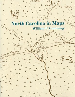
Presents a detailed introduction to each of the following maps: White 1585 MS, White-DeBry 1590, Mercator-Hondius 1606, Comberford 1657 MS, Ogilby-Moxon ca. 1672, Moseley 1733, Collet 1770, Mouzon 1775, Price-Strother 1808, MacRae-Brazier 1833, Colton 1861, Bachmann 1861, U.S. Coast Survey 1865, Kerr-Cain 1882, and Post Route 1896.
PRP: 62.00 Lei
Acesta este Prețul Recomandat de Producător. Prețul de vânzare al produsului este afișat mai jos.
55.80Lei
55.80Lei
62.00 LeiPrimești 55 puncte
Livrare in 2-4 saptamani
Descrierea produsului
Presents a detailed introduction to each of the following maps: White 1585 MS, White-DeBry 1590, Mercator-Hondius 1606, Comberford 1657 MS, Ogilby-Moxon ca. 1672, Moseley 1733, Collet 1770, Mouzon 1775, Price-Strother 1808, MacRae-Brazier 1833, Colton 1861, Bachmann 1861, U.S. Coast Survey 1865, Kerr-Cain 1882, and Post Route 1896.


