headerdesktop corintwktrgr26apr24

MAI SUNT 00:00:00:00

MAI SUNT

X

headermobile corintwktrgr26apr24

MAI SUNT 00:00:00:00

MAI SUNT

X

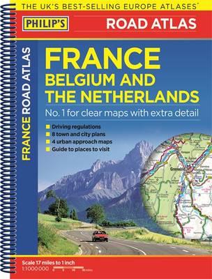
Philip's Road Atlas France, Belgium and the Netherlands

De (autor): Anonim

  • Philip's Road Atlas France, Belgium and the Netherlands
  • Philip's Road Atlas France, Belgium and the Netherlands
  • Philip's Road Atlas France, Belgium and the Netherlands
  • Philip's Road Atlas France, Belgium and the Netherlands

Philip's Road Atlas France, Belgium and the Netherlands

De (autor): Anonim

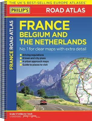
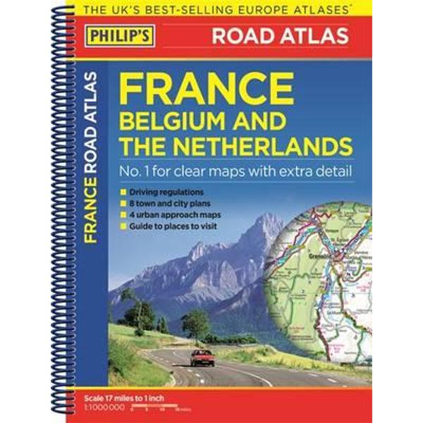
Philip's Road Atlas France, Belgium and The Netherlands shows the national road networks at a scale of 1:1 million, with ultra-clear detailed mapping for urban areas. Scenic routes are highlighted, and the maps show numerous places to visit including beaches, theme parks, national parks and World Heritage sites.

Philip's Road Atlas France, Belgium and The Netherlands includes:

2-page route-planner;

Listings for ski resorts and top visitor attractions;

38 pages of clear, detailed road maps, with car ferries and toll, toll-free and pre-pay motorways all clearly marked;

Large-scale approach maps for four major cities (Bordeaux, Lyon, Paris, Strasbourg);

City-centre plans marking historic buildings and tourist attractions as well as car parks, head post offices and other facilities in eight major cities (Amsterdam, Brussels, Bordeaux, Luxembourg, Lyon, Marseilles, Paris, Strasbourg).
Citeste mai mult

-10%

PRP: 40.66 Lei

!

Acesta este Pretul Recomandat de Producator. Pretul de vanzare al produsului este afisat mai jos.

36.59Lei

36.59Lei

40.66 Lei

Primesti 36 puncte

Important icon msg

Primesti puncte de fidelitate dupa fiecare comanda! 100 puncte de fidelitate reprezinta 1 leu. Foloseste-le la viitoarele achizitii!

Indisponibil

Descrierea produsului

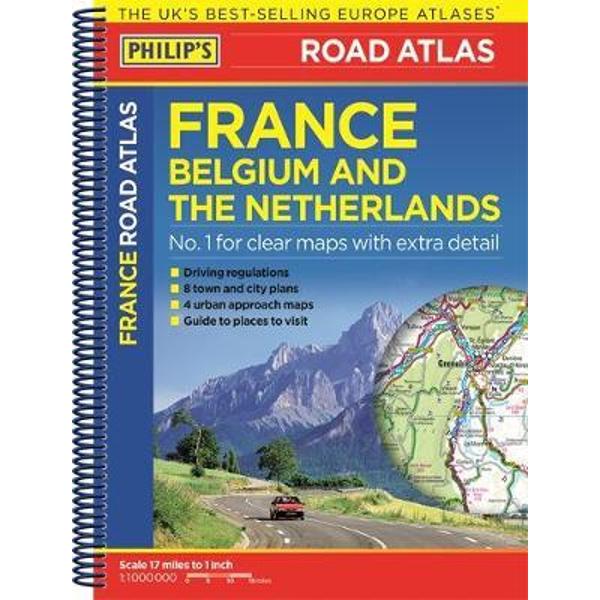
Philip's Road Atlas France, Belgium and The Netherlands shows the national road networks at a scale of 1:1 million, with ultra-clear detailed mapping for urban areas. Scenic routes are highlighted, and the maps show numerous places to visit including beaches, theme parks, national parks and World Heritage sites.

Philip's Road Atlas France, Belgium and The Netherlands includes:

2-page route-planner;

Listings for ski resorts and top visitor attractions;

38 pages of clear, detailed road maps, with car ferries and toll, toll-free and pre-pay motorways all clearly marked;

Large-scale approach maps for four major cities (Bordeaux, Lyon, Paris, Strasbourg);

City-centre plans marking historic buildings and tourist attractions as well as car parks, head post offices and other facilities in eight major cities (Amsterdam, Brussels, Bordeaux, Luxembourg, Lyon, Marseilles, Paris, Strasbourg).
Citeste mai mult

De pe acelasi raft

Parerea ta e inspiratie pentru comunitatea Libris!

Acum se comanda

Noi suntem despre carti, si la fel este si

Newsletter-ul nostru.

Aboneaza-te la vestile literare si primesti un cupon de -10% pentru viitoarea ta comanda!

*Reducerea aplicata prin cupon nu se cumuleaza, ci se aplica reducerea cea mai mare.

Ma abonez image one
Ma abonez image one