


- /
- Librarie online
- /
- Carti in engleza
- /
- Sport
- /
- Sports & outdoor recreation
- /
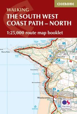
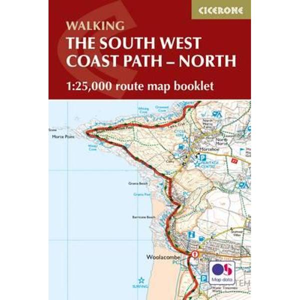
- South West Coast Path Map Booklet - Minehead to St Ives
South West Coast Path Map Booklet
South West Coast Path Map Booklet
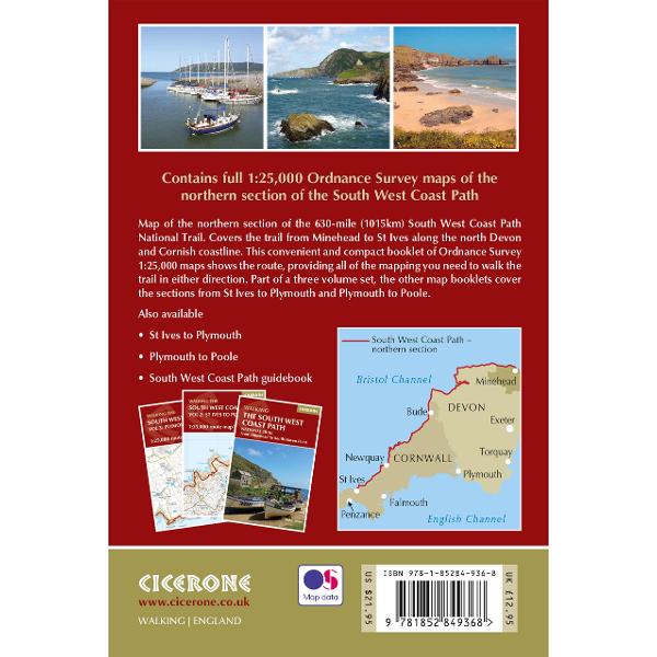
The South West Coast Path is Britain's longest National Trail, stretching some 630 miles (1014km) between Minehead in Somerset and Poole in Dorset. It takes in a National Park, 5 Areas of Outstanding Natural Beauty, National Heritage Coasts and a UNESCO World Heritage Site.
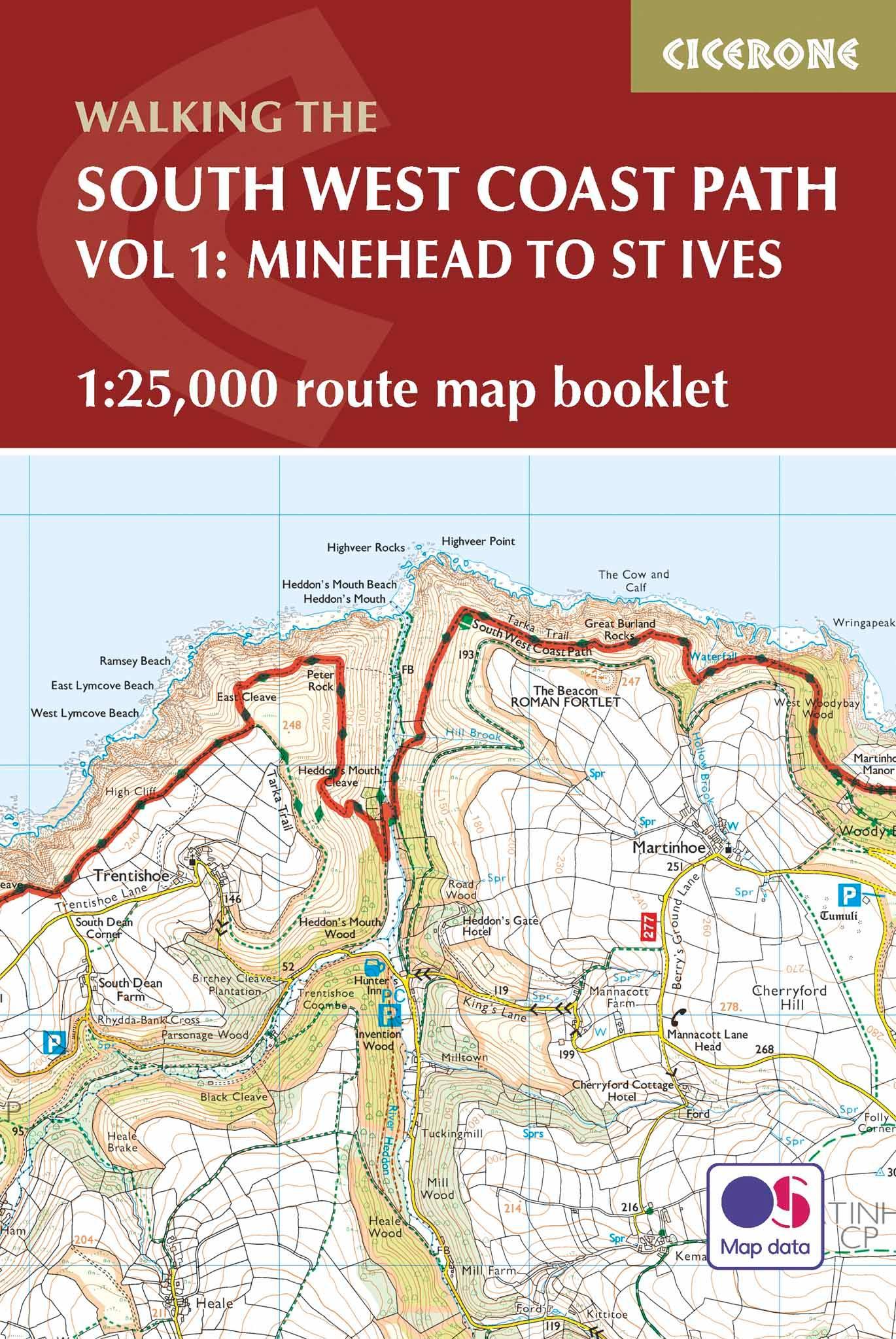
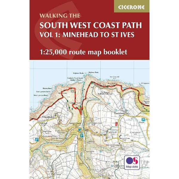
This booklet of Ordnance Survey 1:25,000 Explorer maps has been designed for convenient use on the trail, covering the northern part of the route between Minehead and St Ives. It shows the full and up-to-date line of the National Trail, along with the relevant extract from the OS Explorer map legend. It is conveniently sized for slipping into a jacket pocket or top of a rucksack and comes in a clear PVC sleeve. Two separate booklets cover the route from St Ives to Plymouth and from Plymouth to Poole.
The map booklet can accompany the Cicerone guidebook to The South West Coast Path, which describes the full National Trail in 45 stages, with lots of other practical information and local points of interest.
PRP: 102.74 Lei
Acesta este Prețul Recomandat de Producător. Prețul de vânzare al produsului este afișat mai jos.
92.47Lei
92.47Lei
102.74 LeiPrimești 92 puncte
Indisponibil
Descrierea produsului
The South West Coast Path is Britain's longest National Trail, stretching some 630 miles (1014km) between Minehead in Somerset and Poole in Dorset. It takes in a National Park, 5 Areas of Outstanding Natural Beauty, National Heritage Coasts and a UNESCO World Heritage Site.
This booklet of Ordnance Survey 1:25,000 Explorer maps has been designed for convenient use on the trail, covering the northern part of the route between Minehead and St Ives. It shows the full and up-to-date line of the National Trail, along with the relevant extract from the OS Explorer map legend. It is conveniently sized for slipping into a jacket pocket or top of a rucksack and comes in a clear PVC sleeve. Two separate booklets cover the route from St Ives to Plymouth and from Plymouth to Poole.
The map booklet can accompany the Cicerone guidebook to The South West Coast Path, which describes the full National Trail in 45 stages, with lots of other practical information and local points of interest.
Detaliile produsului