Unmanned Vehicle Systems for Geomatics
Unmanned Vehicle Systems for Geomatics
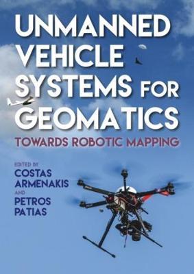
This book contributes to the transformative and revolutionary use of small, unmanned vehicle systems for three-dimensional geospatial data acquisition and mapping, which is considered to be a paradigm shift in the science and technology of geomatics.The book presents a systematic and comprehensive approach for the use of small mobile unmanned systems for robotic geomatics research and applications. Emphasis is placed on aerial unmanned mapping systems as aerial data collection provides better perspective and coverage of an area, and offers the ability for targeted coverage.After considering background information on current systems and technologies, the book presents photogrammetric fundamentals and advanced methodologies, addresses both platform and control segments, discusses sensors, communication, and payload aspects, emphasises automatic aspects of sensor localization and exploration and mapping of the environment It offers several application cases, from monitoring changes in arctic regions to precision agriculture and archaeology, presents challenges and emerging technologies and discusses the market trends and the roadmap ahead.
PRP: 722.50 Lei
Acesta este Pretul Recomandat de Producator. Pretul de vanzare al produsului este afisat mai jos.
650.25Lei
650.25Lei
722.50 LeiPrimesti 650 puncte

Livrare in 2-4 saptamani
Descrierea produsului
This book contributes to the transformative and revolutionary use of small, unmanned vehicle systems for three-dimensional geospatial data acquisition and mapping, which is considered to be a paradigm shift in the science and technology of geomatics.The book presents a systematic and comprehensive approach for the use of small mobile unmanned systems for robotic geomatics research and applications. Emphasis is placed on aerial unmanned mapping systems as aerial data collection provides better perspective and coverage of an area, and offers the ability for targeted coverage.After considering background information on current systems and technologies, the book presents photogrammetric fundamentals and advanced methodologies, addresses both platform and control segments, discusses sensors, communication, and payload aspects, emphasises automatic aspects of sensor localization and exploration and mapping of the environment It offers several application cases, from monitoring changes in arctic regions to precision agriculture and archaeology, presents challenges and emerging technologies and discusses the market trends and the roadmap ahead.
Detaliile produsului
S-ar putea sa-ti placa si
-

PRP: 208.44 Lei
187.60 Lei
187.60 Lei208.44 Lei
-
PRP: 551.65 Lei
496.49 Lei
496.49 Lei551.65 Lei
-

PRP: 443.99 Lei
399.59 Lei
399.59 Lei443.99 Lei
-
PRP: 433.42 Lei
390.08 Lei
390.08 Lei433.42 Lei
-

PRP: 739.40 Lei
665.46 Lei
665.46 Lei739.40 Lei
-

PRP: 229.50 Lei
206.55 Lei
206.55 Lei229.50 Lei
-

PRP: 698.27 Lei
628.44 Lei
628.44 Lei698.27 Lei
-
PRP: 265.13 Lei
238.62 Lei
238.62 Lei265.13 Lei
-

PRP: 534.84 Lei
481.36 Lei
481.36 Lei534.84 Lei