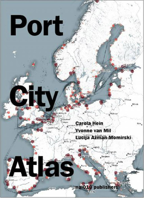
Port City Atlas: Mapping European Port City Territories: From Understanding to Design

Port City Atlas: Mapping European Port City Territories: From Understanding to Design
A cartographic guide to Europe's seaport infrastructure
A multitude of port cities dot Europe's coastline, each with its own history and relationship to sea transportation and development. In the era of climate change, these cities can offer paradigms and guidance for sustainable development. Taking a comprehensive, map-based approach, Port City Atlas offers visualizations of 100 port city territories located on four seas and connected through shared waters--from Amsterdam, Antwerp, Barcelona, Bilbao, Bordeaux, Bremen, Calais, Cork, Dover, Dublin, Felixstowe, Fredericia, Ghent, Hamburg, Helsinki, Kiel, K benhavns and La Rochelle to Limerick, Liverpool, London, Lübeck, Malm , Palermo, Ravenna, Riga, R nne, Rotterdam, Sköldvik, Stockholm, Tallinn, Venice, Zeebrugge and countless others.
Conceived as a reference work, Port City Atlas provides a foundation for comparative analysis beyond the case-study approach, offering a uniquely sea-oriented take on the understanding and urban design of Europe.
PRP: 434.00 Lei
Acesta este Pretul Recomandat de Producator. Pretul de vanzare al produsului este afisat mai jos.
390.60Lei
390.60Lei
434.00 LeiLivrare in 2-4 saptamani
Descrierea produsului
A cartographic guide to Europe's seaport infrastructure
A multitude of port cities dot Europe's coastline, each with its own history and relationship to sea transportation and development. In the era of climate change, these cities can offer paradigms and guidance for sustainable development. Taking a comprehensive, map-based approach, Port City Atlas offers visualizations of 100 port city territories located on four seas and connected through shared waters--from Amsterdam, Antwerp, Barcelona, Bilbao, Bordeaux, Bremen, Calais, Cork, Dover, Dublin, Felixstowe, Fredericia, Ghent, Hamburg, Helsinki, Kiel, K benhavns and La Rochelle to Limerick, Liverpool, London, Lübeck, Malm , Palermo, Ravenna, Riga, R nne, Rotterdam, Sköldvik, Stockholm, Tallinn, Venice, Zeebrugge and countless others.
Conceived as a reference work, Port City Atlas provides a foundation for comparative analysis beyond the case-study approach, offering a uniquely sea-oriented take on the understanding and urban design of Europe.
Detaliile produsului


